
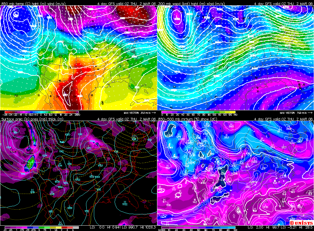
 Again, we're looking at a consistent model run for early Wed. Very warm air cranked into the state on strong southwesterly winds that could be gusting up to 30 mph in the coming day. The fire danger, especially west, will have to be taken seriously. There is some debate as to when the warming will be shunted south and east. The new GFS shows it sticking around through Thursday. The front has difficulty moving through. The ECMWF has it moving through the state.
The west (Rocky Mountains) turns colder and snowier. Good news for anyone heading to Utah to ski this week. I wonder who that could be???


No comments:
Post a Comment