We have been following the chance for a few strong to possibly severe thunderstorms Tuesday. The timing of the front is a bit problematic as some of the models disagree. The images below are from our exclusive model "Futurecast". Right now, it appears that while a few showers will be possible in the morning, the best chance for rain and storms will arrive later in the afternoon into the evening hours on Tuesday. There will be plenty of wind energy with this system, but the levels of instability are not that high. The biggest threat right now appears to be locally heavy rainfall, strong winds, and maybe some hail. An isolated, brief tornado will also be possible, but that threat is not high. This can all still change so stay tuned. Check out the maps below...
 |
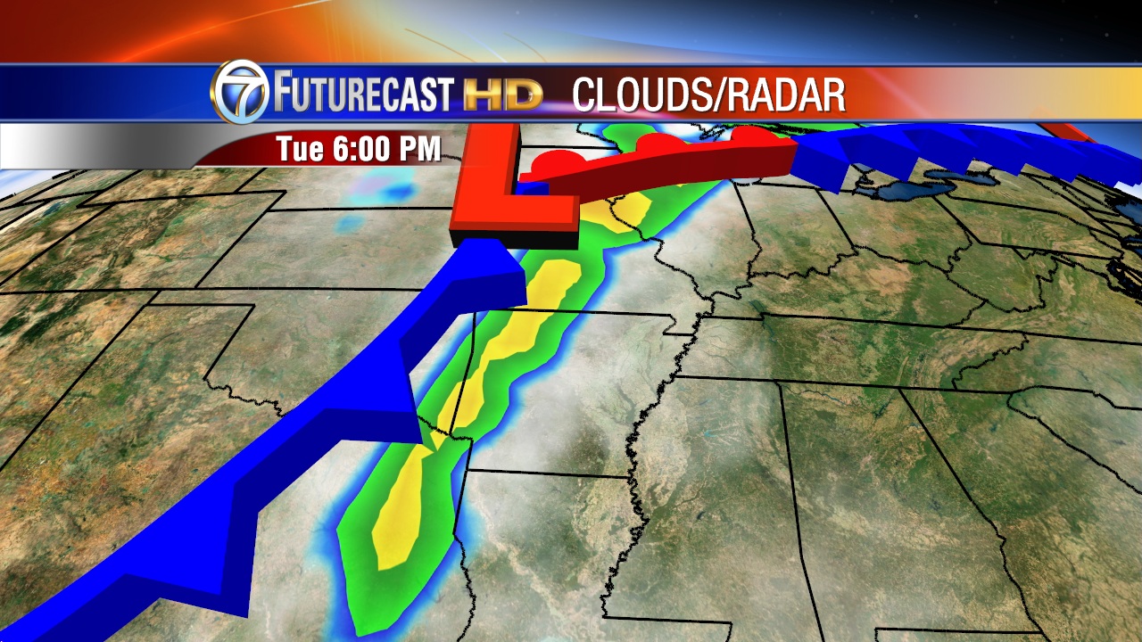
| Futurecast shows a line of storms moving into central Arkansas around 6 PM |
 |
| The highest levels of instability may be found across central and southwest sections of the state. |
 |
| The Storm Prediction Center has placed much of the mid south including Arkansas in a slight risk for severe weather. |


1 comment:
Yes Sir! We will get more rain tomorrow and tomorrow night than we seen all of October and the first 29 days of November last year.
Just hope If the cold air comes like SNOWBIRDBOB says it will, it wont turn bone dry. Its so hard to keep cold air in place with and moisture or storm chances, but who knows...our first storm of the year a sleet storm?
Post a Comment