
 |
| The HRRR at 8PM shows a POSSIBLE low just east of Arkadelphia. The wind flowing into this (backing) COULD increase the tornado threat.... COULD. |
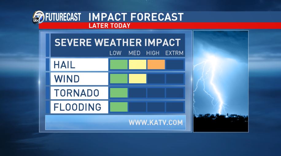
There could be some redevelopment after midnight and the main threat will be hail.
Another round of storms will be possible Sunday, but precipitation should not be very widespread and we're not expecting a washout. However, a very cold pool of air aloft will move overhead. This will increase the threat for at least small hail.
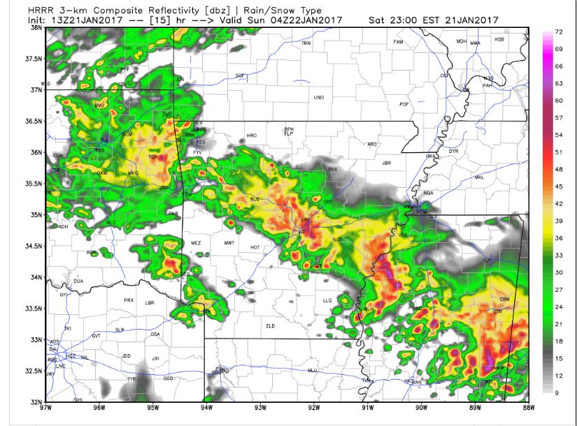
The following is simulated radar from the HRRR. It's a great model, but no model is perfect.
 |
| 5PM |
 |
| 6PM |
 |
| 7PM |
 |
| 8PM |
 |
| 9PM |
 |
| 10PM |
 |
| 11PM |
 |
| MIDNIGHT |
 |
| 1AM |


No comments:
Post a Comment