
 We'll it's now very obvious temperatures take a tumble this weekend in Arkansas. These are things to consider when dealing with a classic arctic outbreak: First, arctic air advances faster than the models predict. Second, 99 out of 100 times it is much colder than the models predict and they won't catch on until 24 to 48 hours of the new air mass arriving. And third, because of the above, predicting exact details of snow and ice is very difficult.
It is very possible to have highs only in the 20's and 30's next week with lows from 0 to 10.
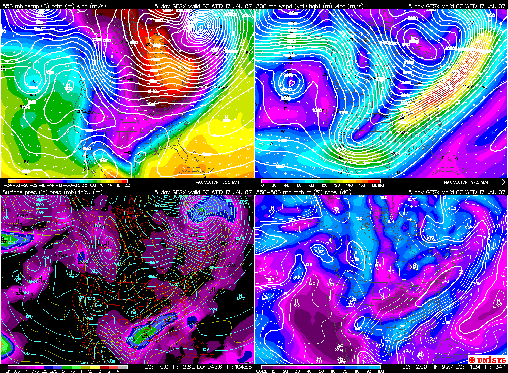
The above image is the dreaded GFS. Like I said, the details can't be trusted!!!! This is next Tuesday. It shows a nice overrunning event as energy gets pulled in from the southwest. Surface temps would be plenty cold and temps would be cold enough for snow across many areas of the state with some ice down south. AGAIN, DETAILS CAN'T BE TRUSTED, BUT THERE'S A LOT OF THINGS TO BE CONSIDERED OVER THE NEXT COUPLE OF WEEKS AND THIS IS JUST ONE OF THEM.


No comments:
Post a Comment